Parchin Blast Site Far From Disputed Chamber
Yesterday, I described what was known at the time about a mysterious blast near the Parchin military site in Iran. I postulated that satellite imagery would soon be available to help sort out the mystery of what took place. A tweet this afternoon from @dravazed alerted me to this article at the Times of Israel, which, in turn, linked to this story posted at israeldefense.com.
Satellite imagery described as from Sunday night’s blast at the Israel Defense site shows several buildings destroyed. The article claims that the blast looks like an attack on a bunker:
Satellite images obtained by Israel Defense and analyzed by specialist Ronen Solomon clearly show damage consistent with an attack against bunkers in a central locality within the military research complex at the Parchin military compound.
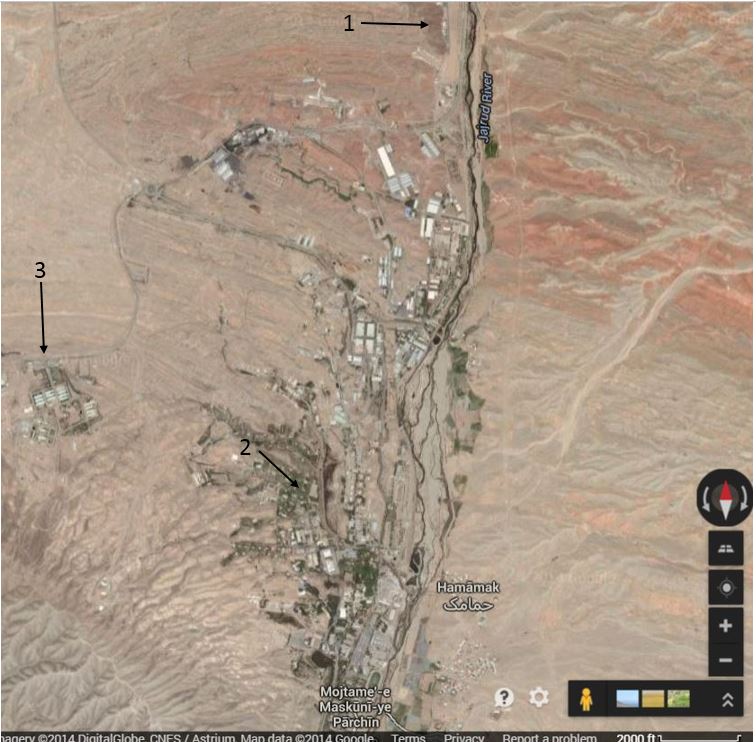
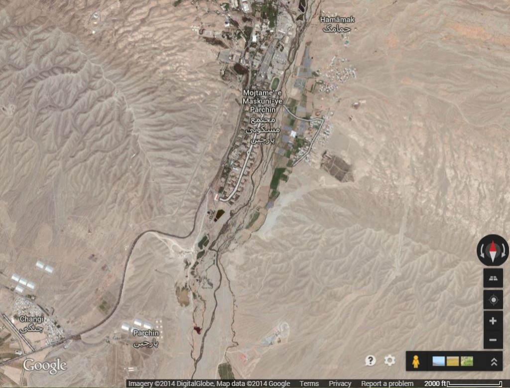
Because of the unique shape of the large building adjacent to those destroyed by the blast, I was able to find the location of the blast on Google Maps. Also, with the help of this article from 2012 in The Atlantic, I was able to locate both the area inspected by IAEA in 2005 and the site of the disputed blast chamber where it is alleged that research to develop a high explosive fuse for a nuclear weapon has been carried out. None of these three locations, the blast site, the chamber site or the area inspected in 2005, lies within the boundaries marked as Parchin on Google Maps. The blast site looks to be near a populated area of what is marked on Google Maps as Mojtame-e Maskuni-ye Parchin (which appears to translate as Parchin Residential Complex A if I used Google Translate appropriately). In fact, the blast site appears to be just over a mile from an athletic field. On the map below, #1 is the disputed blast chamber location, #2 is the blast site and #3 is the area inspected in 2005. Note that both the blast chamber site and the area inspected in 2005 are more removed from what appear to be the populated areas.
I am far from an image analysis expert, but the blast site looks to me to be more like an industrial site than a cache for storing explosives. If a bunker were indeed located here, that would put the local planning in this area on a par with West, Texas.
It will be very interesting to see how US officials describe the damage and the site where it occurred.


